|
|
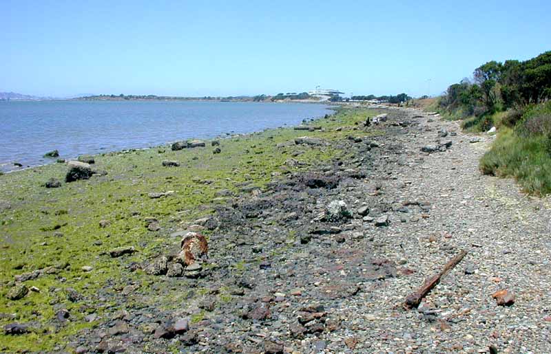
The shoreline of the North Basin Strip at low tide. Water level = +1.1 ft above MLLW.
Although the west side of the North Sailing Basin has a steeper bottom slope and deeper water closer to shore, this is the most likely location for facilities supporting boating activity in the Eastshore State Park. Kayaks, rental rowboats, and other non-motorized watercraft could operate from a small dock or paved ramp. |
previous photo - - - - - - - - - - - - next photo