|
|
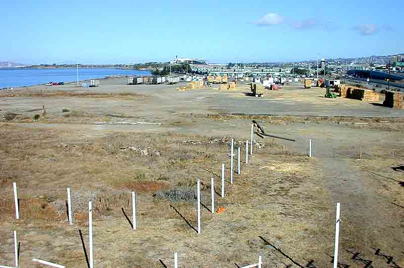
The North Basin Strip from 30 feet up.
This view, looking north from the middle of the North Basin Strip, conveys a sense of how wide the strip really is: about 600 feet. This is wide enough to support a variety of active uses, especially if the impact of the freeway is mitigated in some way. The proposed site plan developed in accordance with CPAC recommendations shows one possible design for this section of the Eastshore State Park. The extension of Gilman street is even with the beginning of green stables buildings in the background, and the Albany border is about 1/4 mile north of that, between the stables and the track itself. The development potential of the north portion of the North Basin Strip and the stables area could depend on the interpretation of Measure Q, the 1986 voter initiative that set new development limits for the Berkeley waterfront. |
previous photo - - - - - - - - - - - - next photo